indo adventure- day 11: recovery
I didn’t surf today because I’ve had some sort of flare up in my left shoulder, I think it is a shoulder impingement of some sort. It happened yesterday, feeling much better today, but taking today to rest and do what Auntie Ellen, the sage and brilliant physical therapist I am so lucky to call ‘auntie’, had prescribed.
But I did follow the group out to today’s launch point - which ended up being from a boat! And the departure was post-sunrise, so I was able to snap a few photos of the trip:
wave reading
One of the things I’ve been trying to understand this week is how underwater topography affects the behavior of waves. The coaches had us watch an interview with the surfer Laird Hamilton yesterday (can be found here, start watching at about 4:05) who said that a good surfer understands waves, and can watch a wave and understand the underwater topography by observing the behavior of the wave. Since I'm not able to surf today, I decided to do a bit of research into this.
So, waves are not water moving forward. They’re energy moving through water — the water itself mostly just moves up and down as the energy passes through it. In deep ocean, that energy travels as a swell, energy that may have been generated by a storm thousands of miles away, travelling across deep ocean almost undisturbed. What creates a surf-able wave is the interaction between that travelling energy and the seafloor as the water gets shallower. This is called wave shoaling.
As a swell enters shallower water, the bottom of the wave slows down due to friction with the seafloor while the top continues at the same speed. The wave gets compressed vertically, grows taller, steepens, and eventually becomes unstable and breaks. What the wave looks like when it breaks, and crucially, how it breaks -- gentle or violent, crumbling or hollow, breaking (or closing out) all at once or peeling perfectly along a wall -- is almost entirely determined by the shape of the underwater topography beneath it.
I found this graphic helpful for illustrating this:
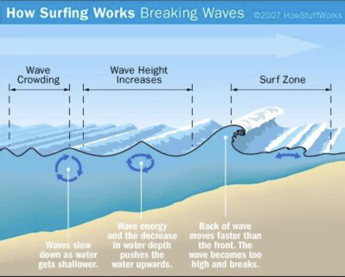
A gradual slope produces a slow, soft, forgiving wave. A sudden shallow shelf causes the base of the wave to stop almost abruptly while the top keeps moving, throwing the lip forward and producing the fast, powerful, often hollow waves that make reef breaks both thrilling and unforgiving. Here in Sumbawa we're longboarding, and the waves we're riding are reef breaks of a different character: powerful but not too fast, wide rather than tall, with a long peeling face that gives you time to find your trim and walk the board. The reef is what makes them consistent and readable. The power comes from the open ocean swell that's been travelling uninterrupted for thousands of miles before it hits this particular shelf. But the shape — that wide, generous, rolling face — is a product of this specific reef's contour and angle.
What I hadn’t understood before this week is how much of surfing is geography, and more specifically: bathymetry - the study of the underwater depth of ocean floors, rivers, and lakes, similar to how topography measures land elevation. It's not just reading the wave. It's reading the underwater landscape that made it. The channel beside the reef is the deeper water where the swell passes through unbroken and where you paddle out safely. The shallow section is where the wave pitches. The angle of the reef relative to the incoming swell determines whether the wave peels cleanly along a wall or closes out all at once with nowhere to go.
The instructors here can look at a set on the horizon and one in particular, Ardi, will shout "SOMETHING'S COMING!!" because they know the bathymetry and can see swells coming and understand how they will behave when they hit the reef. This knowledge took years to acquire. I’ve had four days and I’m just beginning to see it — the way the water changes color over the shallow sections, the way a particular lump on the horizon means something specific by the time it reaches us. It’s a language, and I’m very much a beginner.
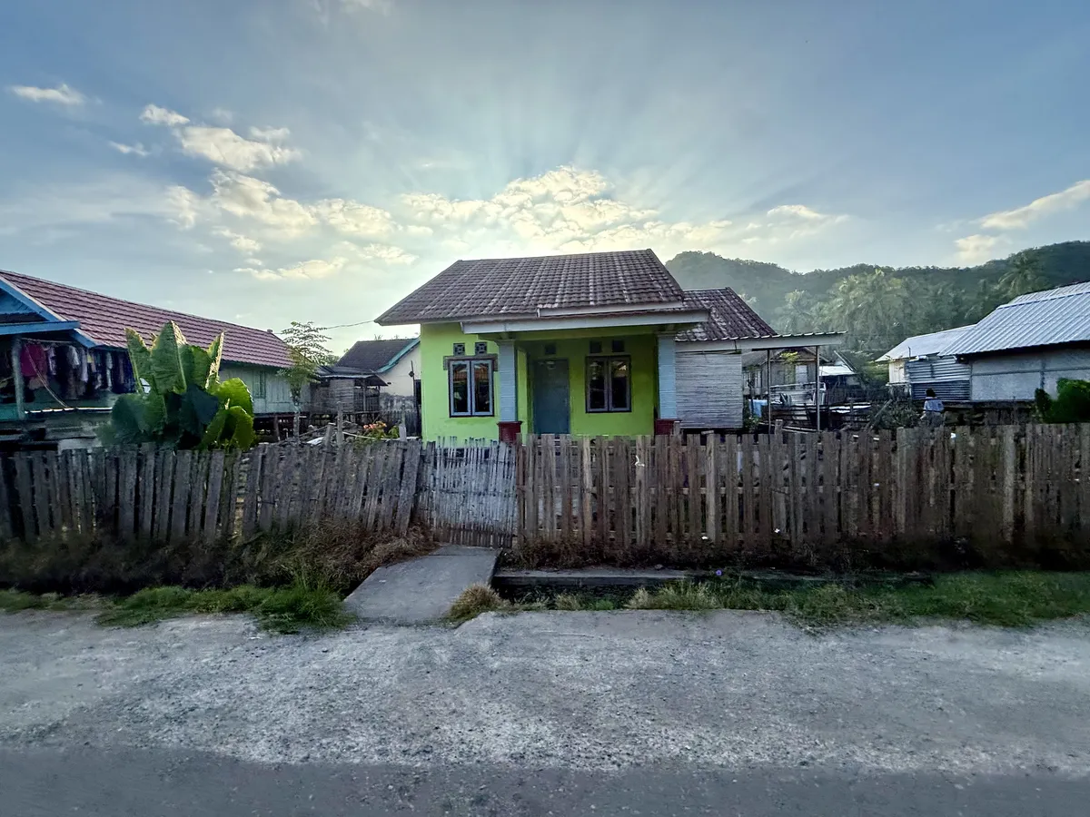
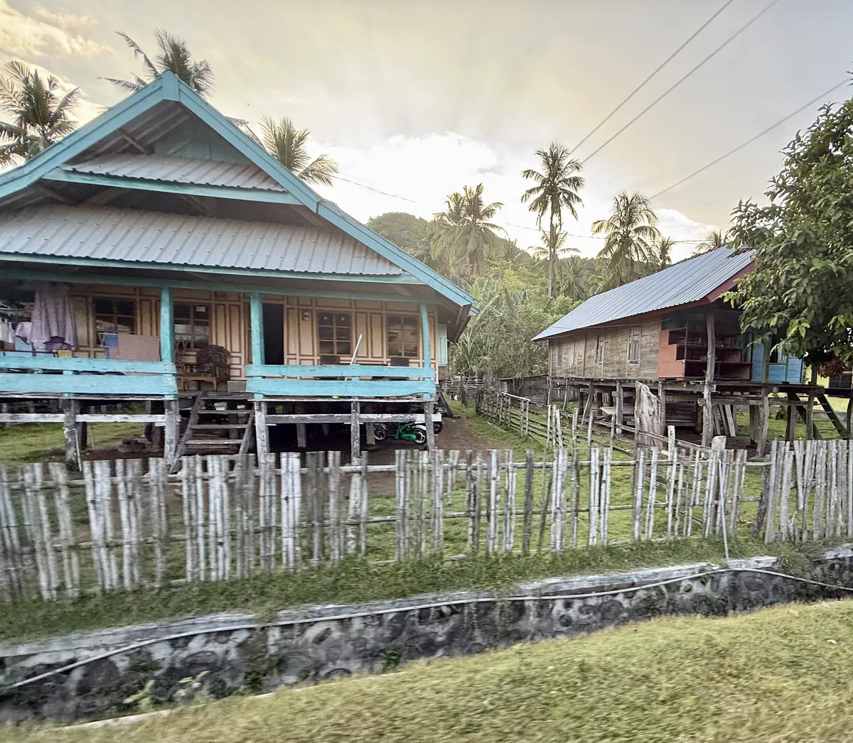
Taliwang
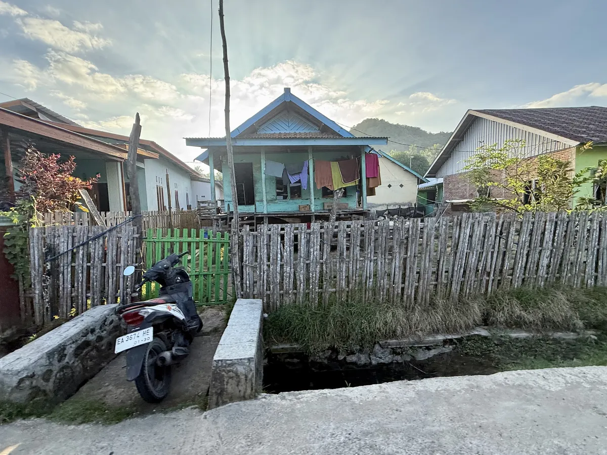
Homes in the surrounding village of Taliwang are up on stilts because these are fishing communities and they store their boats under their houses when they aren’t in the water.
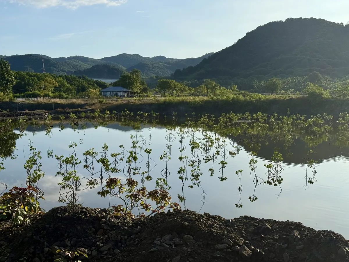
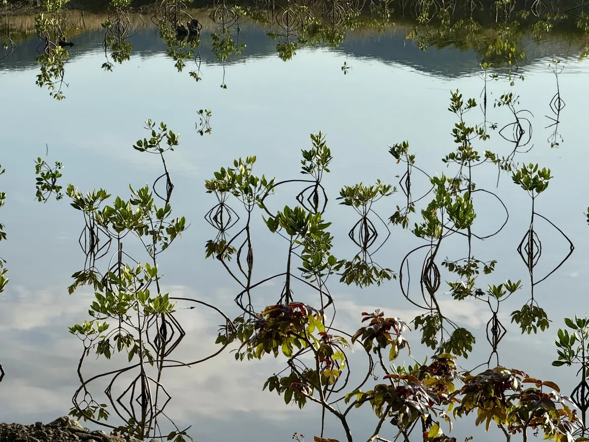
mangroves
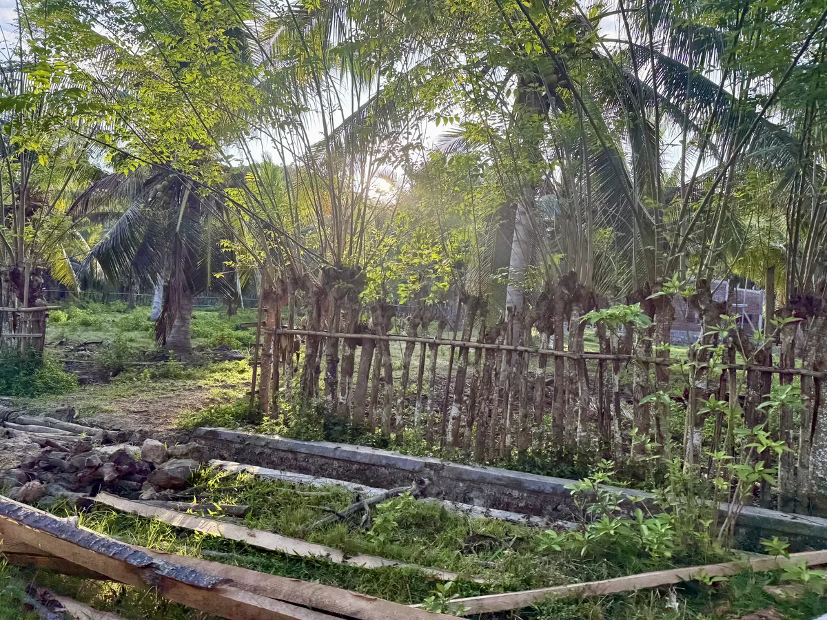
Mangroves are a type of salt-tolerant tree or shrub that grows in tropical and subtropical coastal intertidal zones. Here they are growing mangrove trees to improve the environment and eventually they will transplant them elsewhere to help with shrimp harvesting (some species of shrimp really thrive with mangroves in their habitat).
A new addition to the pack:
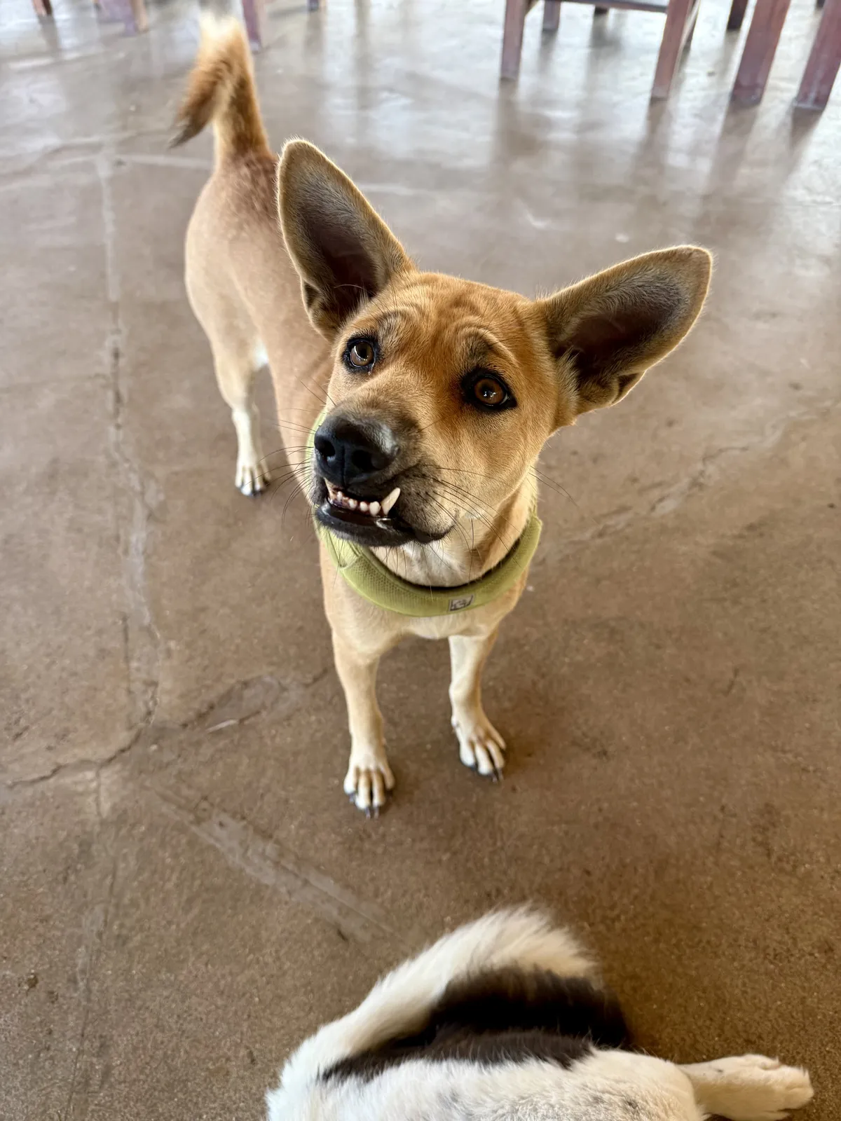
This is Tessa, a neighbor's dog who has decided to come join the pack.